Self-Paced Online learning
24/7 Online Support
14 days Money Back Guarantee
Fully Accredited Courses

Spatial Analysis in ArcGIS

4.8

(36 students)
Last updated: August 7, 2024
Language: English

Spatial Analysis in ArcGIS

4.8

(36 students)
qls-logo cpd-logo cpd-logo ukrlp-logo iphm-logo

Rated Excellent on

google-logo

Overview

This comprehensive course on Spatial Analysis in ArcGIS will deepen your understanding on this topic.

After successful completion of this course you can acquire the required skills in this sector. This Spatial Analysis in ArcGIS comes with accredited certification from CPD, which will enhance your CV and make you worthy in the job market.

So enrol in this course today to fast track your career ladder.

How will I get my certificate?

At the end of the course there will be an online written test, which you can take either during or after the course. After successfully completing the test you will be able to order your certificate, these are included in the price.

Who is This course for?

There is no experience or previous qualifications required for enrolment on this Spatial Analysis in ArcGIS. It is available to all students, of all academic backgrounds.

Requirements

Our Spatial Analysis in ArcGIS is fully compatible with PC’s, Mac’s, Laptop, Tablet and Smartphone devices. This course has been designed to be fully compatible with tablets and smartphones so you can access your course on Wi-Fi, 3G or 4G.

There is no time limit for completing this course, it can be studied in your own time at your own pace.

Career Path

Having these various qualifications will increase the value in your CV and open you up to multiple sectors such as Business & Management, Admin, Accountancy & Finance, Secretarial & PA, Teaching & Mentoring etc.

Course Curriculum

  • 3 sections
  • 6 lectures
  • 00:00:00 total length
Expand all sections
  • video Module 01: Point Density Analysis
    00:10:00
  • video Module 02: Raster Calculator and Vector Isolation
    00:12:00
  • video Module 03: Raster to Topography
    00:12:00
  • video 
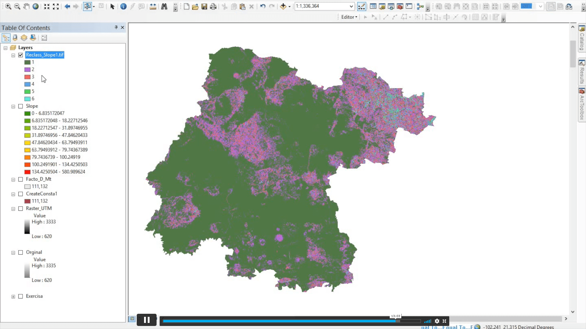
Module 04: Raster Reclassification
    00:14:00
  • video Module 05: Raster Overlay
    00:13:00
  • video Module 06: Slope Analysis and Hydrology tools
    00:11:00
  • video Module 07: Introduction to TIFF Files
    00:12:00
  • video Module 08: Introduction to 3D Surfaces
    00:12:00
  • video Module 09: Satellite Images and TIN Surfaces
    00:12:00
  • video Module 10: Exercise
    00:08:00

Spatial Analysis in ArcGIS

Save 95% - Sale Ends in

14 Days Money Back Guarantee

Frequently Bought Together

avatar

Data Scientist Job Ready Program with Career Support & Money Back Guarantee

£499

4.8

(6 students)
avatar

CompTIA A+ (220-1101 & 220-1102)

£19.99

5

(130 students)

4.8 Star course rating

Spatial Analysis in ArcGIS

£19.99

Regular Price

£419

Save 95% - Sale Ends in

14 Days Money Back Guarantee

This course includes:

  • Duration:
    1 hour, 56 minutes
  • Access:
    1 year access
  • Level:
  • CPD Points:
    10
× How can I help you?